Tropical Storm Watch issued for Kauaʻi as Hurricane Lowell approaches
Heavy rain, damaging surf and strong winds threaten Hawaiʻi
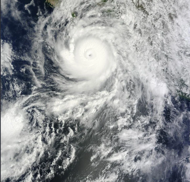
A Tropical Storm Watch is in effect for Kauaʻi County, including Kauaʻi and Niʻihau, as Hurricane Lowell approaches the Hawaiian Islands and is forecast to turn northward. The National Weather Service said Lowell was about 540 nautical miles south-southwest of Kauaʻi late Saturday afternoon and is expected to pass west of the island Monday into Tuesday. Tropical-storm-force winds are possible on parts of Kauaʻi beginning Monday afternoon.
The storm's effects are expected to extend well beyond its center. A Flood Watch covers all of the main Hawaiian Islands from Sunday evening through Tuesday afternoon as moisture on Lowell's eastern side moves across the state. Forecasters warned that periods of heavy rain could cause flash flooding, close flood-prone roads and overwhelm streams and low-lying areas. Windward and mountainous areas are expected to face the greatest initial rainfall threat before southerly winds spread the risk more broadly Monday.
Dangerous ocean conditions are already developing. A High Surf Advisory is in effect for exposed shores, with surf reaching as high as 14 feet along east-facing shores and expected to increase rapidly along south- and west-facing shores as Lowell turns north. Forecasters said some areas could be upgraded to a High Surf Warning. Waters around Kauaʻi are also under a Tropical Storm Watch, where winds of 25 to 35 knots, gusts as high as 50 knots and seas of 17 to 25 feet are possible Monday and Monday night.
Hawaiian offshore waters farther west are under a Hurricane Warning, with hurricane conditions expected west of 160°W Monday through Tuesday. Forecasters emphasized that Lowell's exact track remains important because relatively small changes could significantly alter wind and rainfall impacts on the western islands. Residents were urged to monitor forecasts and prepare for possible flooding, hazardous surf and strong winds as conditions deteriorate.