Hurricane Polo slams Baja California Sur
Remnants raise major flash-flood threat across Southwest U.S.
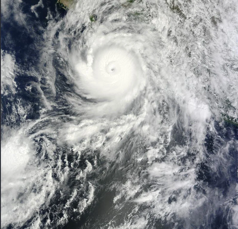
Hurricane Polo made landfall in Baja California Sur, Mexico, just south of Las Barrancas, after reaching the coast as a powerful hurricane with life-threatening winds and flash flooding. The storm's moisture is now combining with an approaching weather system to create a significant flood threat across parts of the Southwestern United States.
Polo approached the Baja peninsula Monday as a Category 3 hurricane with maximum sustained winds near 115 mph. Mexican authorities had closed ports and schools, opened shelters and urged residents in vulnerable coastal communities to seek safety. Forecasts called for 6 to 12 inches of rain across portions of Baja California Sur, with flooding and mudslides among the primary hazards.
The threat extends well beyond Mexico. The National Weather Service Weather Prediction Center has placed portions of the Southwest and southern High Plains under a Moderate Risk of excessive rainfall as Polo's remnant circulation and tropical moisture move north. Forecasters expect widespread heavy rain and potentially numerous instances of flash flooding, with the greatest concern shifting into southeastern Arizona, New Mexico and portions of western Texas. Flood watches are in effect across parts of the region.
Some areas were already vulnerable before Polo arrived. Tropical moisture from the remnants of Odalys had contributed to heavy rainfall across the Four Corners region, leaving soils saturated in some locations. The Weather Prediction Center warned that rocky terrain, burn scars, slot canyons and normally dry washes could intensify flooding as additional tropical moisture moves through. Parts of Arizona could receive another 1 to 3 inches, with locally higher totals possible in thunderstorms and mountainous terrain.
Polo is expected to weaken as its circulation moves inland, but losing hurricane strength does not eliminate the flooding danger. Its remaining moisture is forecast to spread farther into the southern High Plains and central United States during the week, extending the period of potentially hazardous rainfall well beyond the storm's Mexican landfall.